
Gallery
Move through
the land.
This is Cairnwood as a continuous passage—across the ridge, around the water, beneath the canopy, and toward the mountain horizon.
Photography and video record visible conditions when captured; they do not establish boundaries, access, lake rights, availability, or future improvements.
Film 01
Actual property video
From above.
From within.
Drone views flow into close studies of water, natural stone, woodland, and meadow. Each film begins as it enters the viewport and pauses as the journey moves on.
Actual property footage · Filmed across seasons
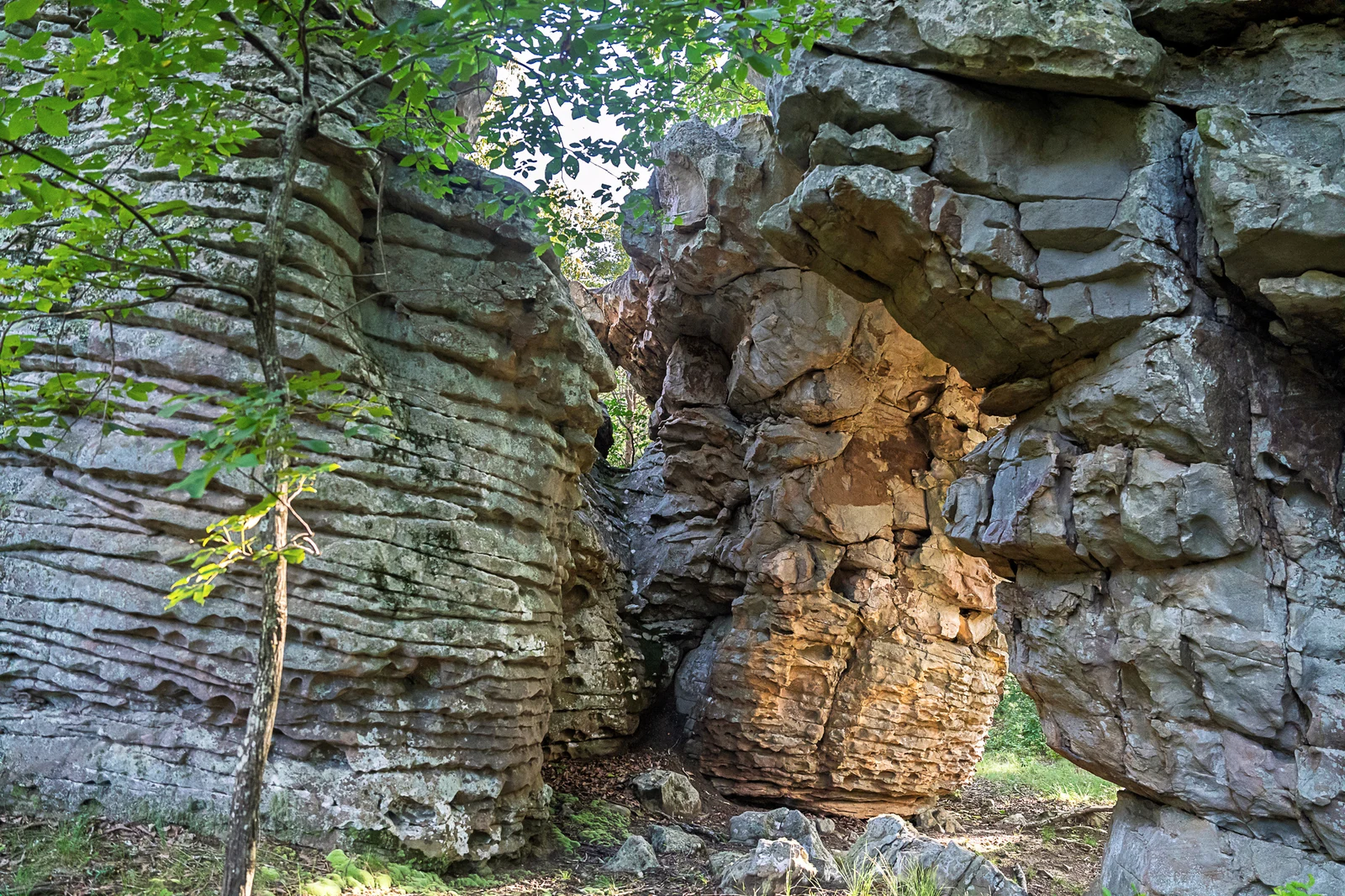
Passage 01 · The approach
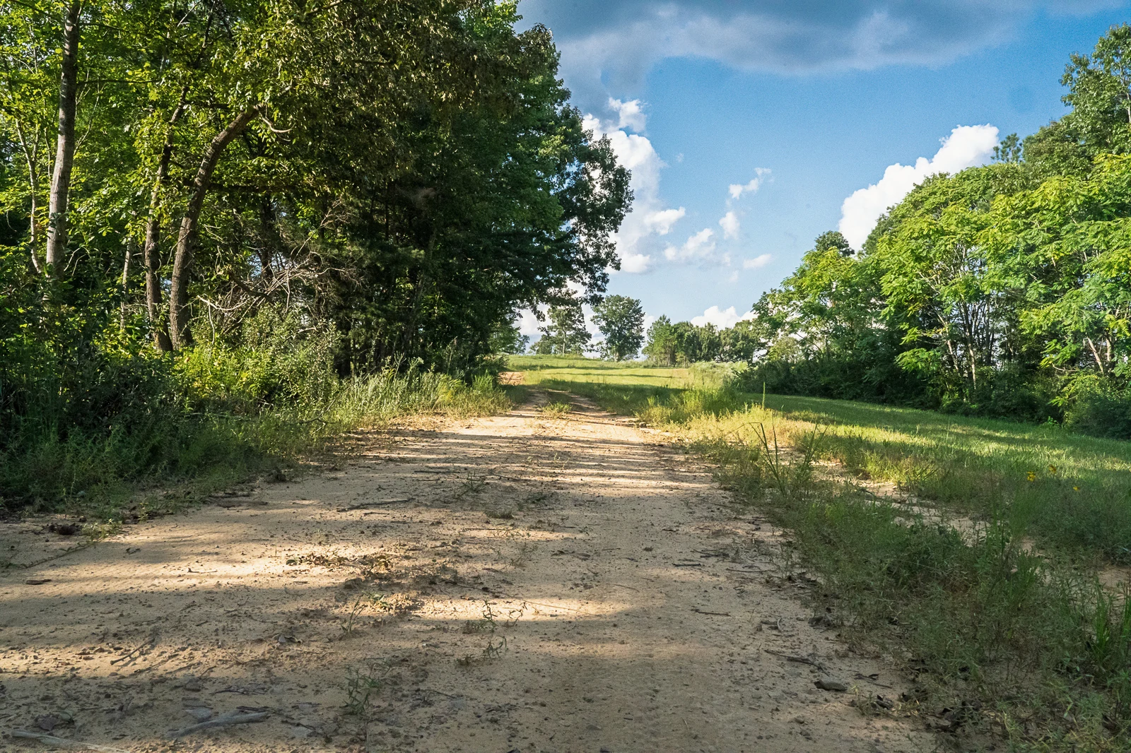
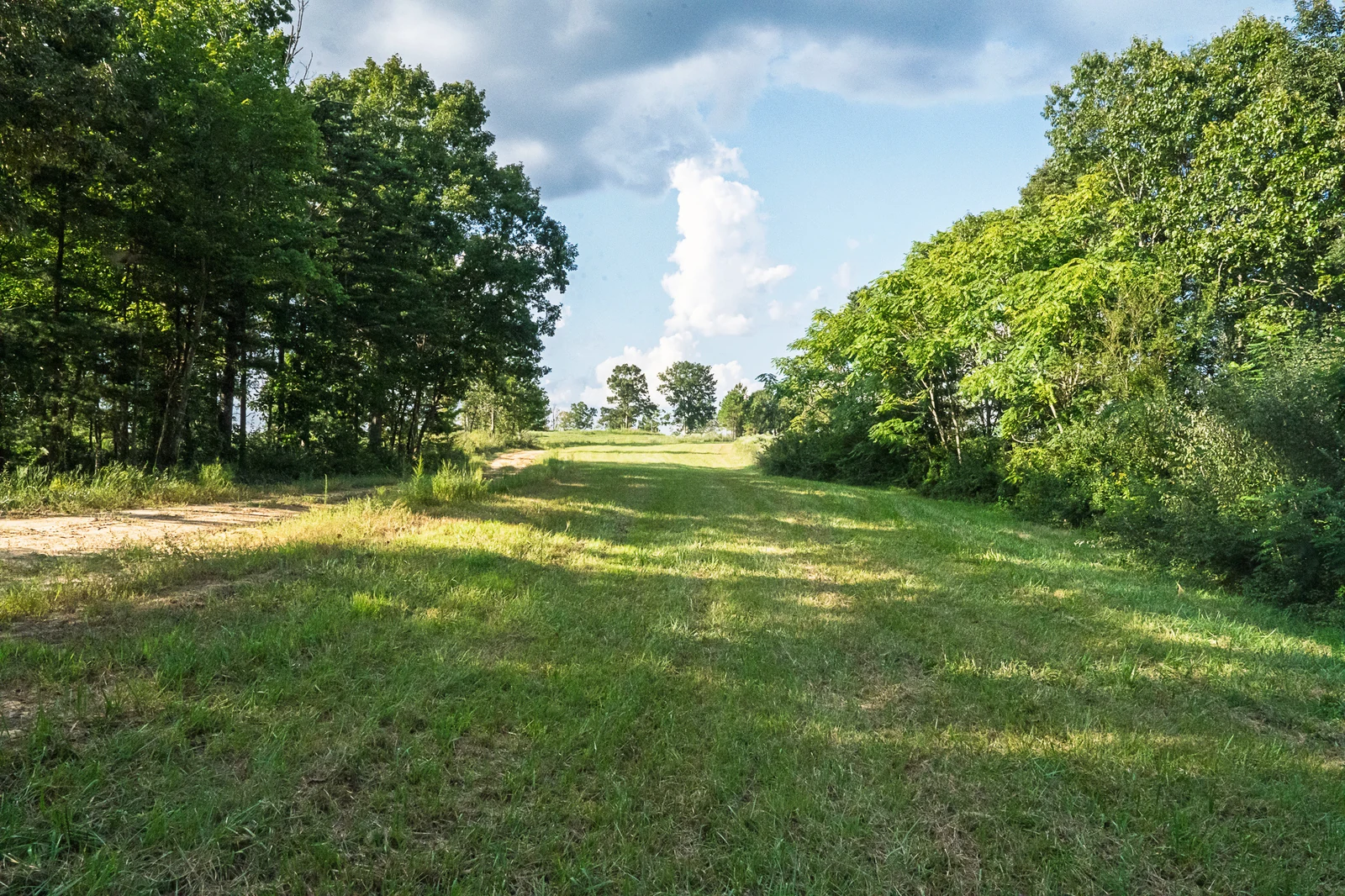
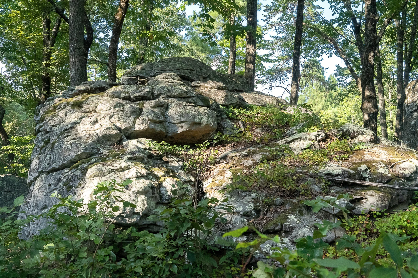
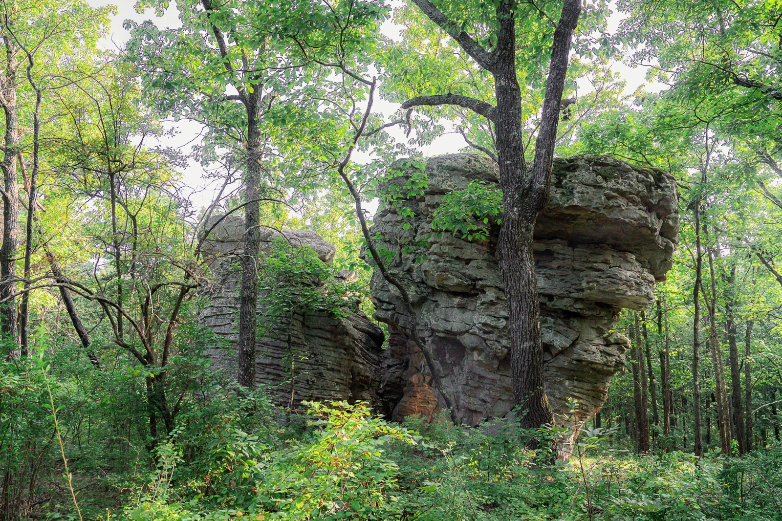
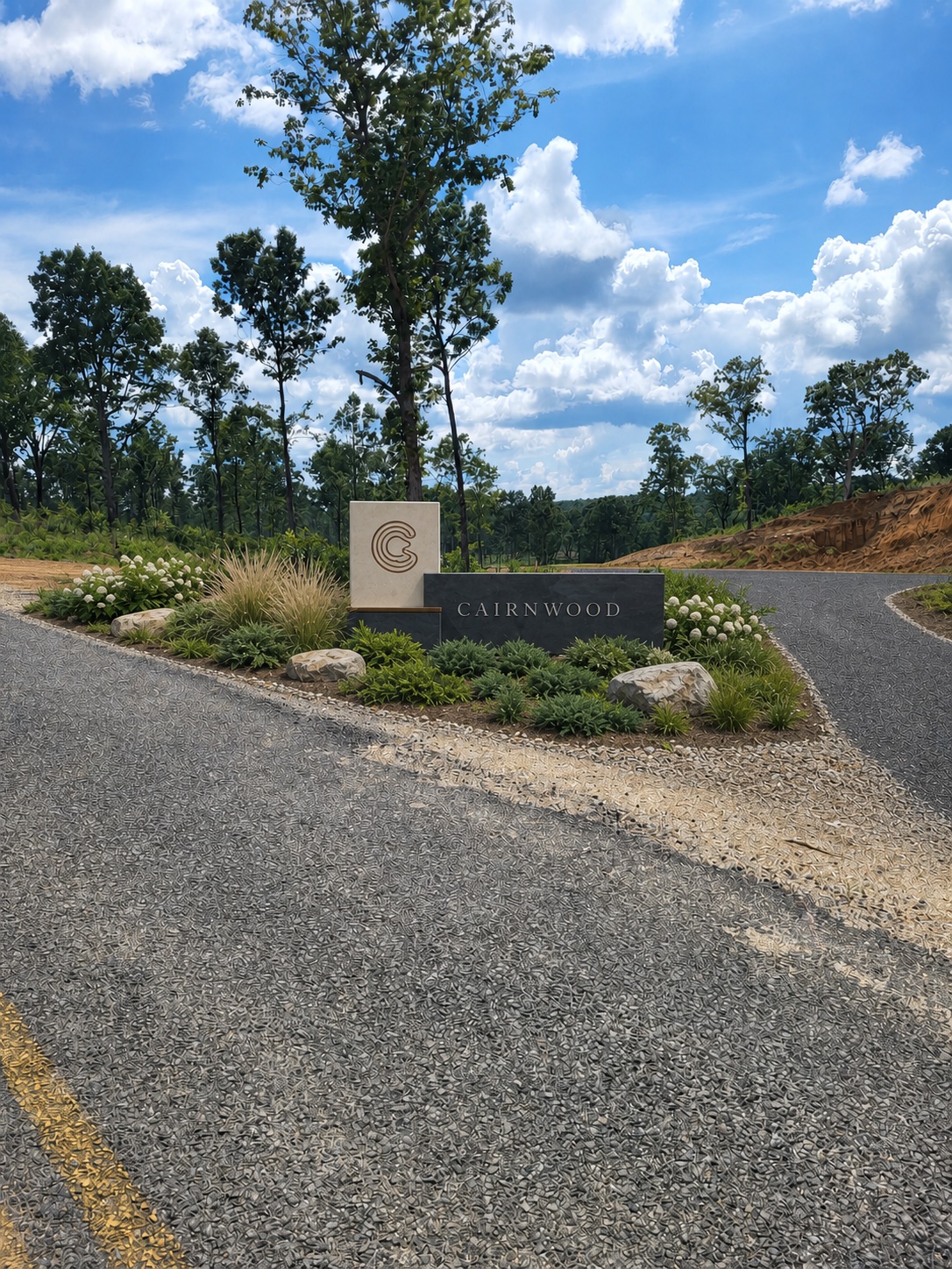
Follow the road into the trees.
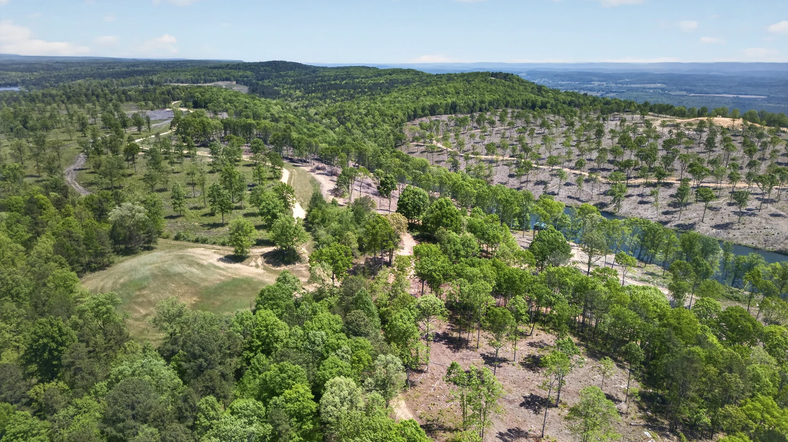
The first sequence moves from site stone and woodland openings toward the wider ridge. No cards, no captions—just the pace and scale of the property.

Film 02 · Across the water
Let the lake lead.
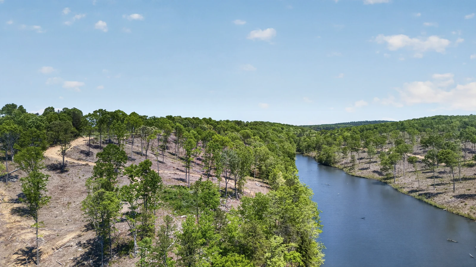
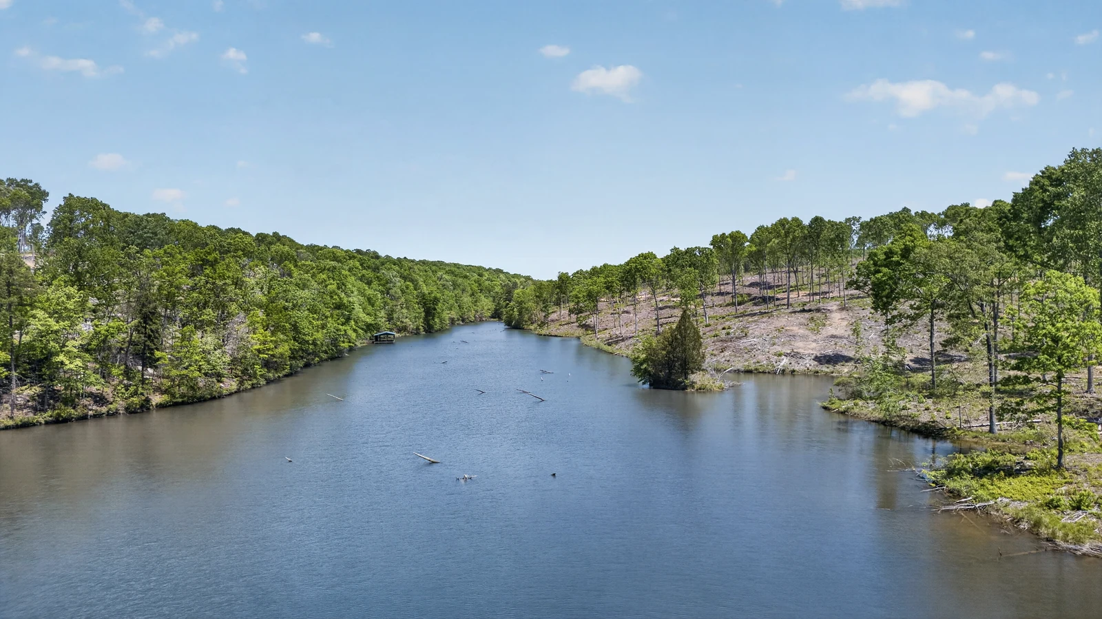
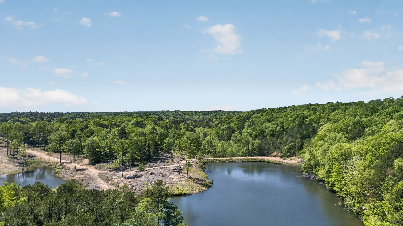
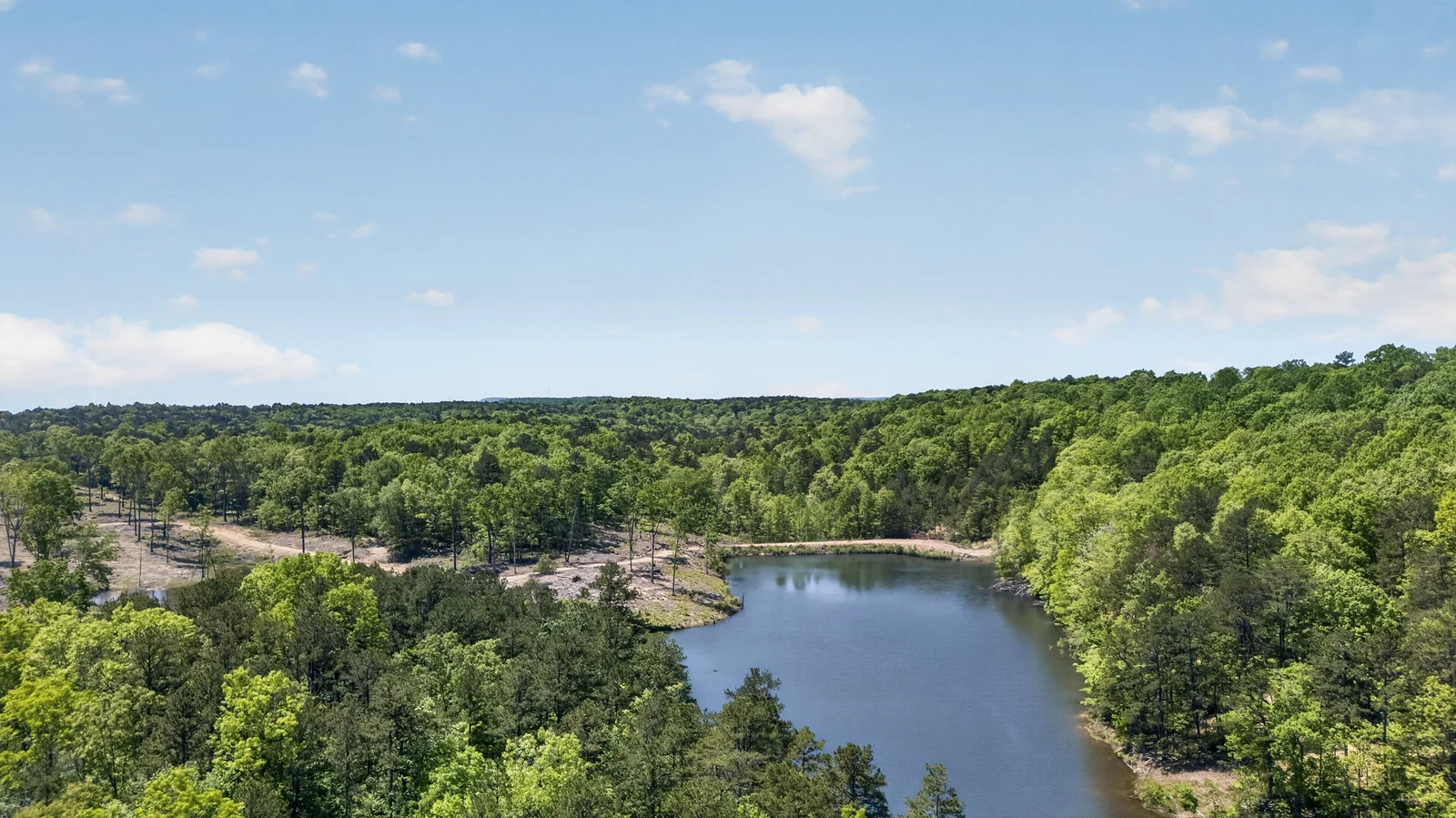
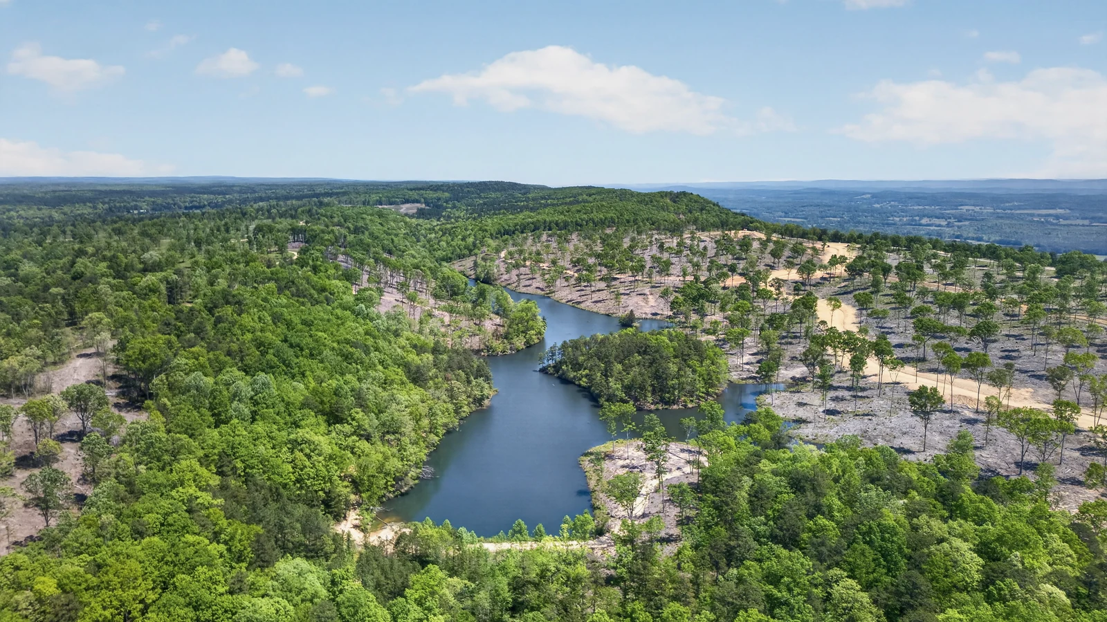
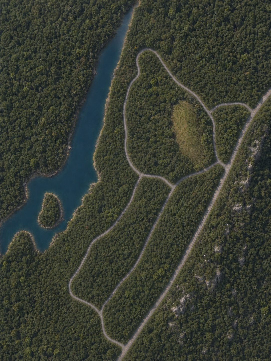
The water reveals how the island, roads, slopes, and open ground relate to one another.
See the Property PlanActual Cairnwood footage · Filmed across seasons
Passage 02 · The water
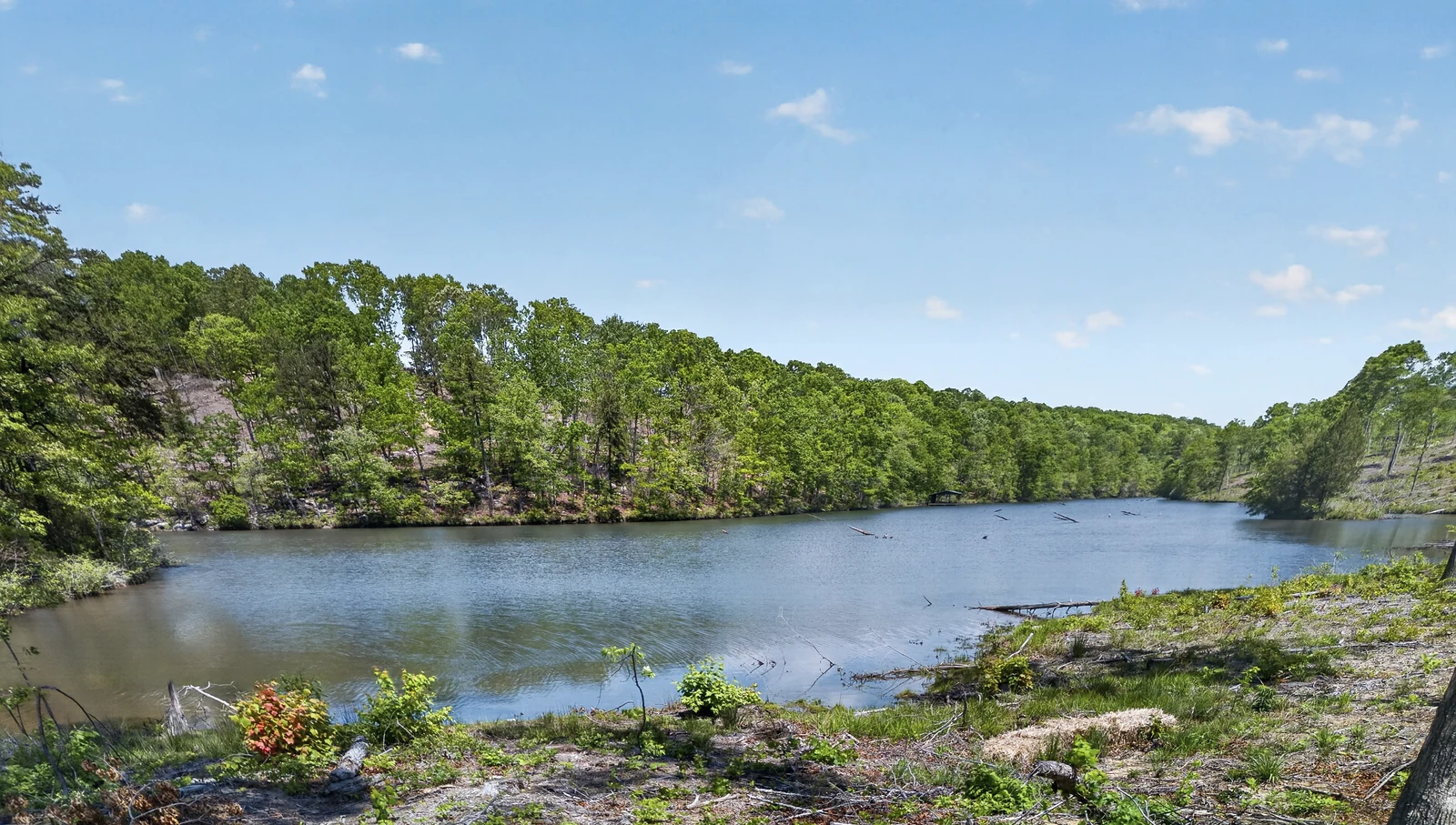
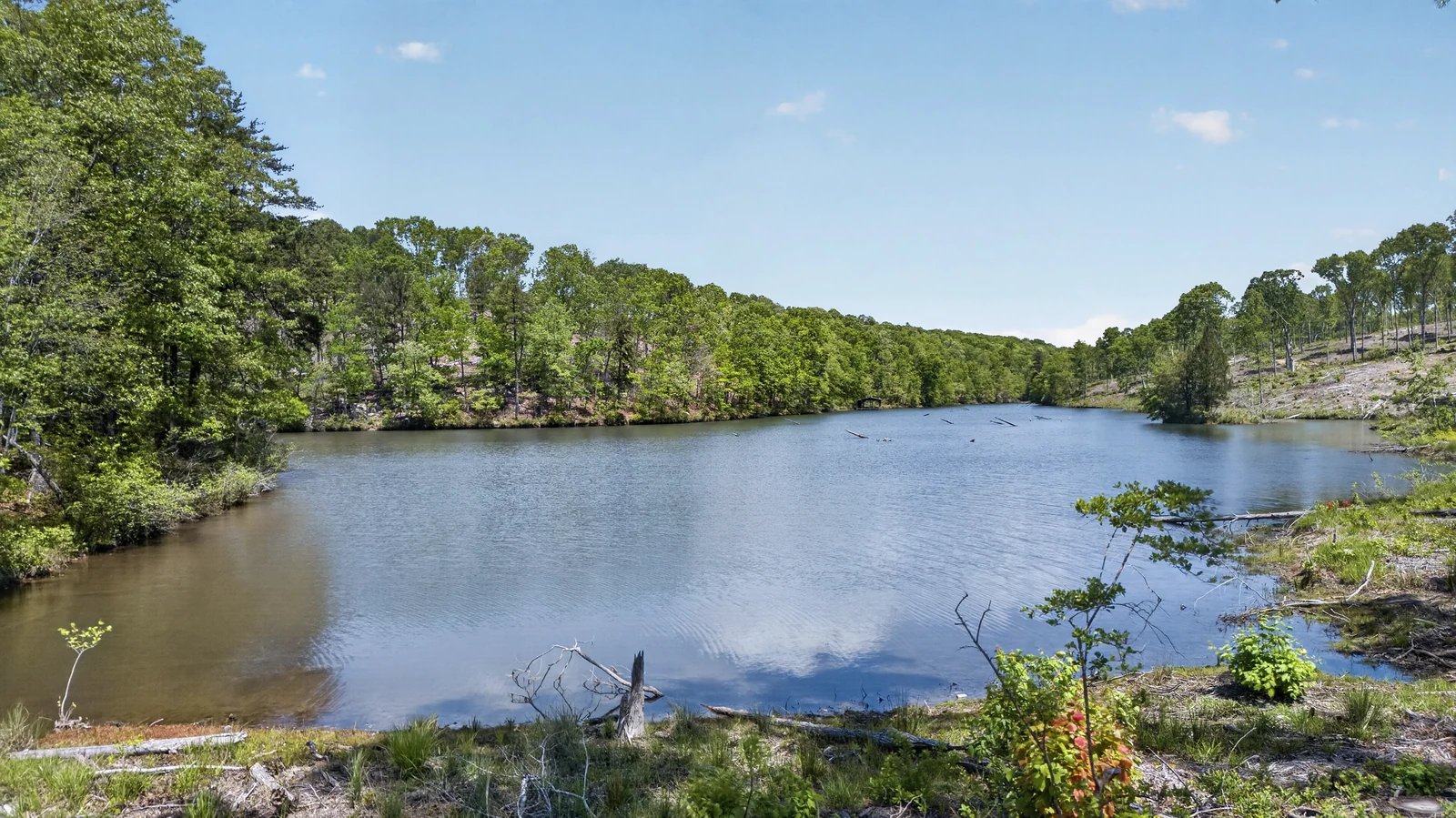
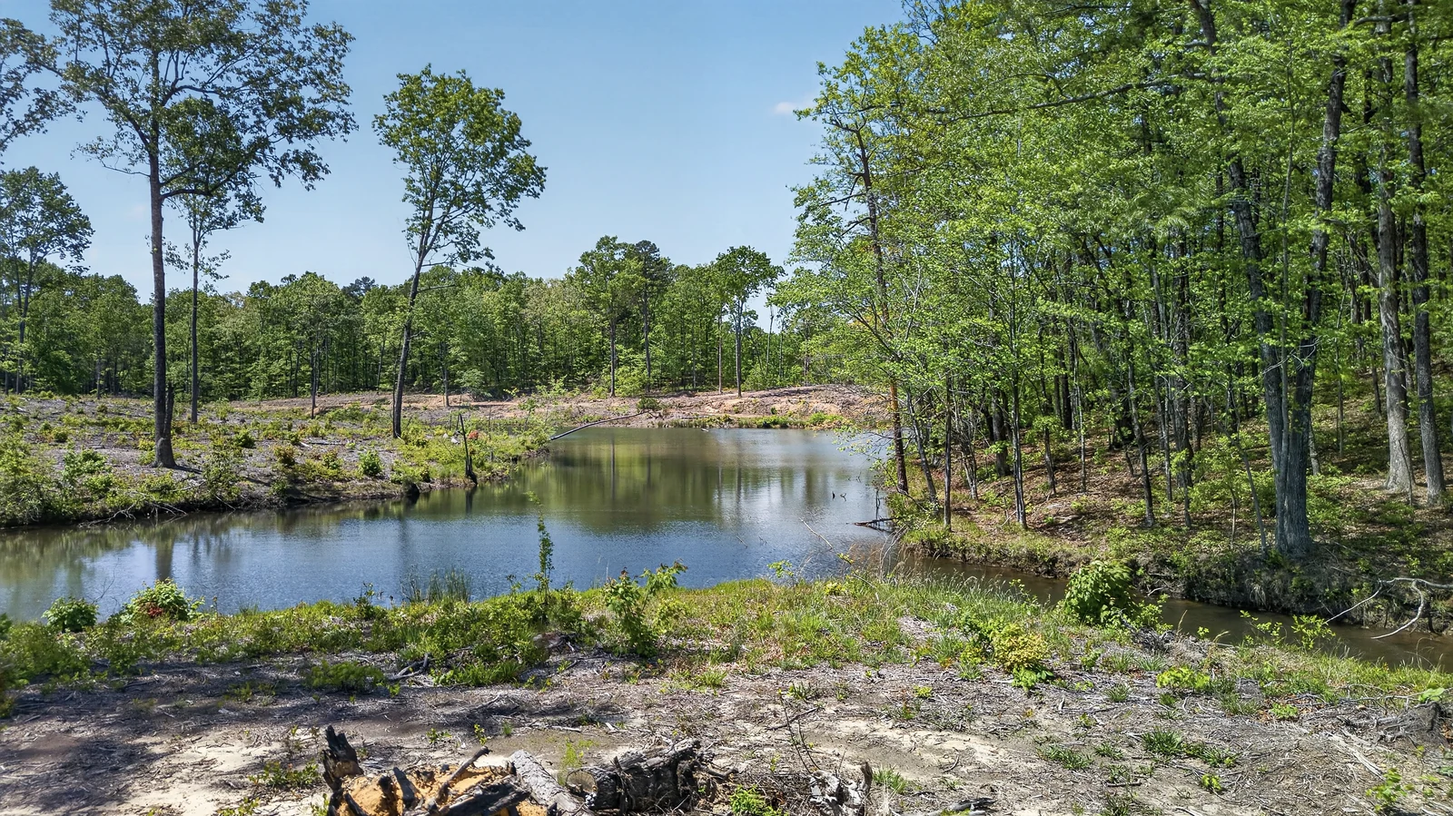
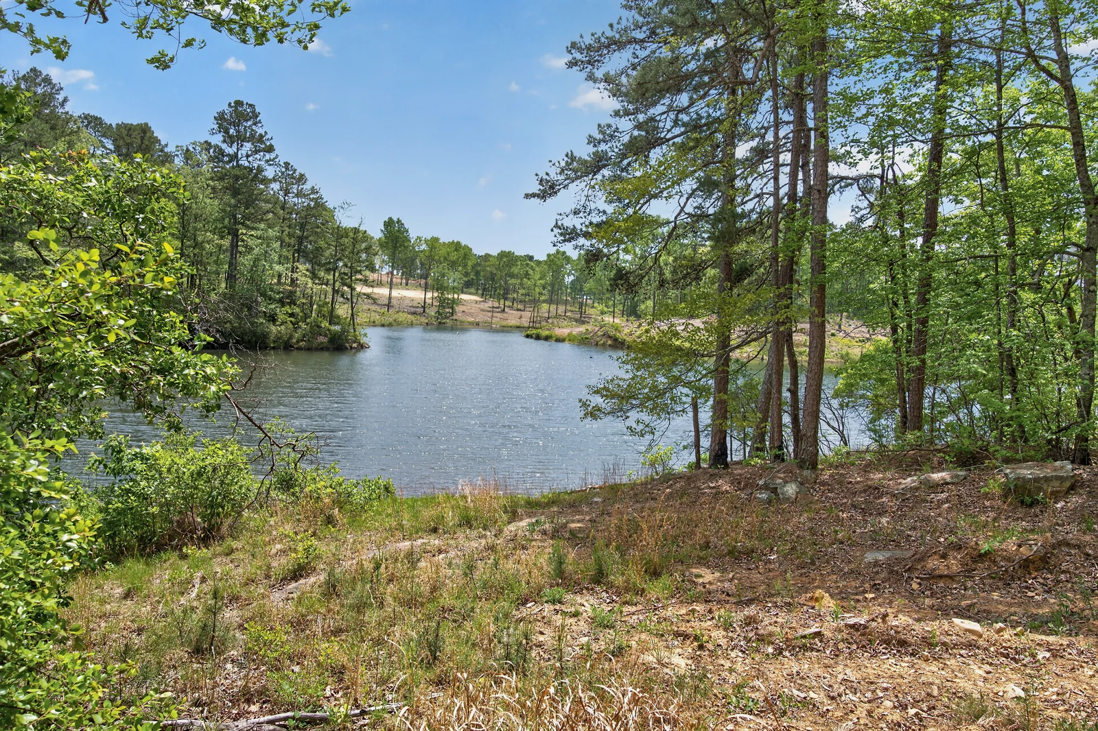
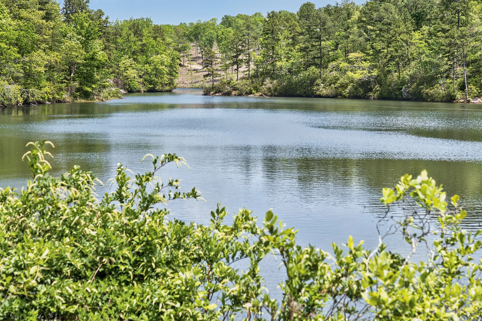
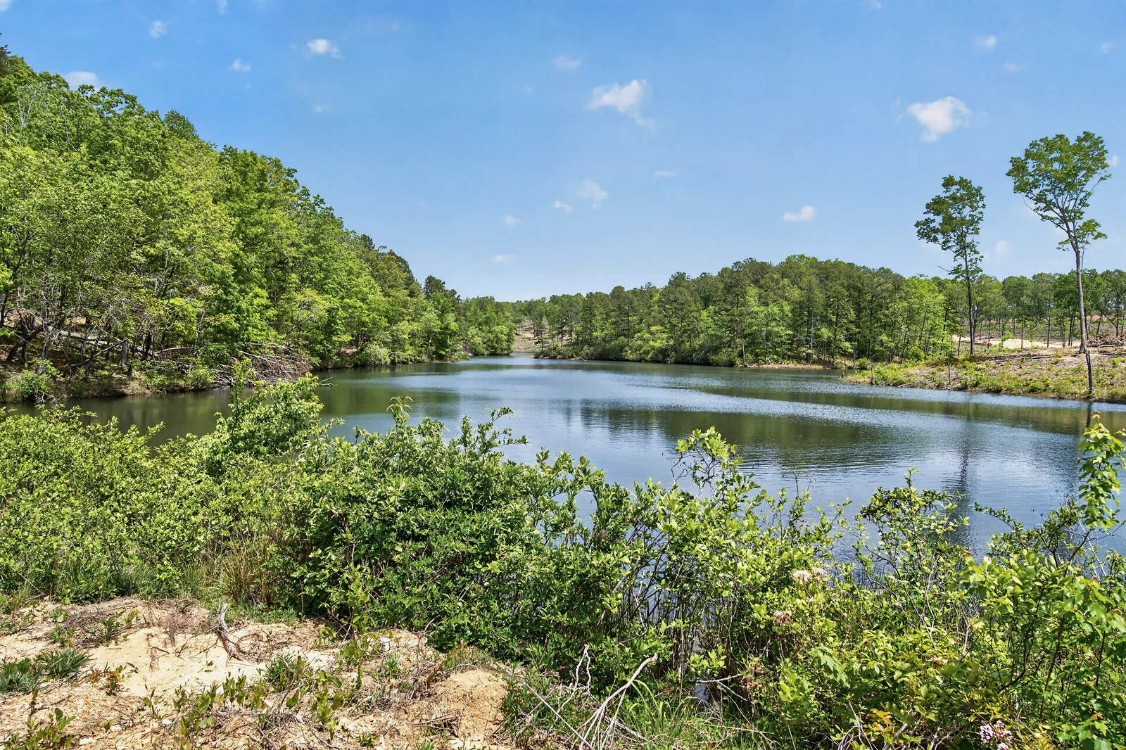
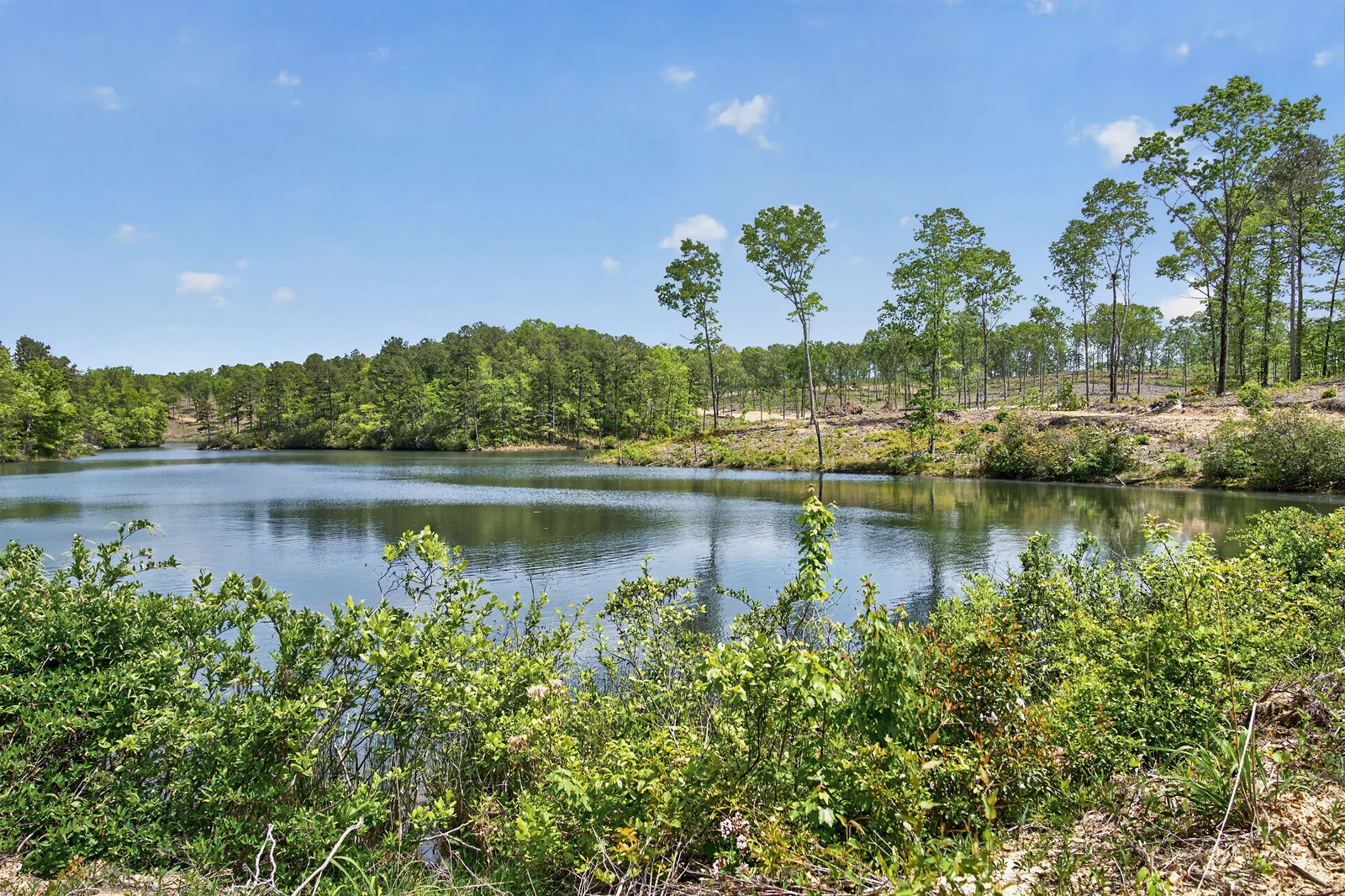
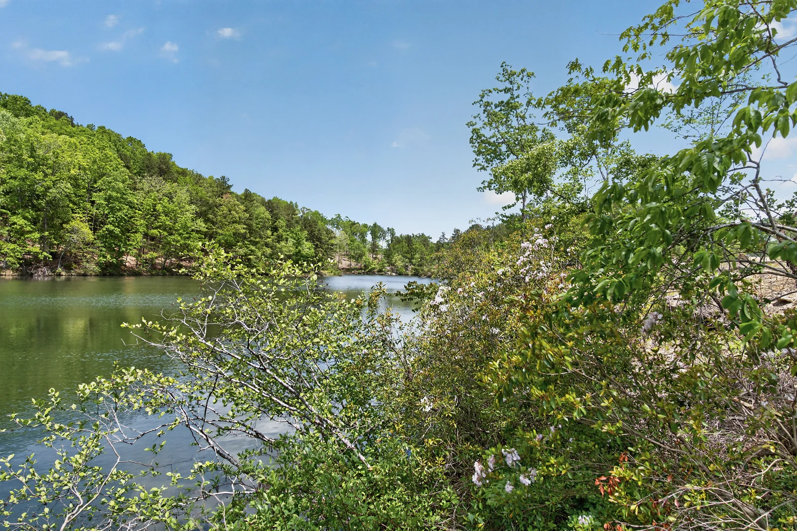
Around the island. Along the shore.
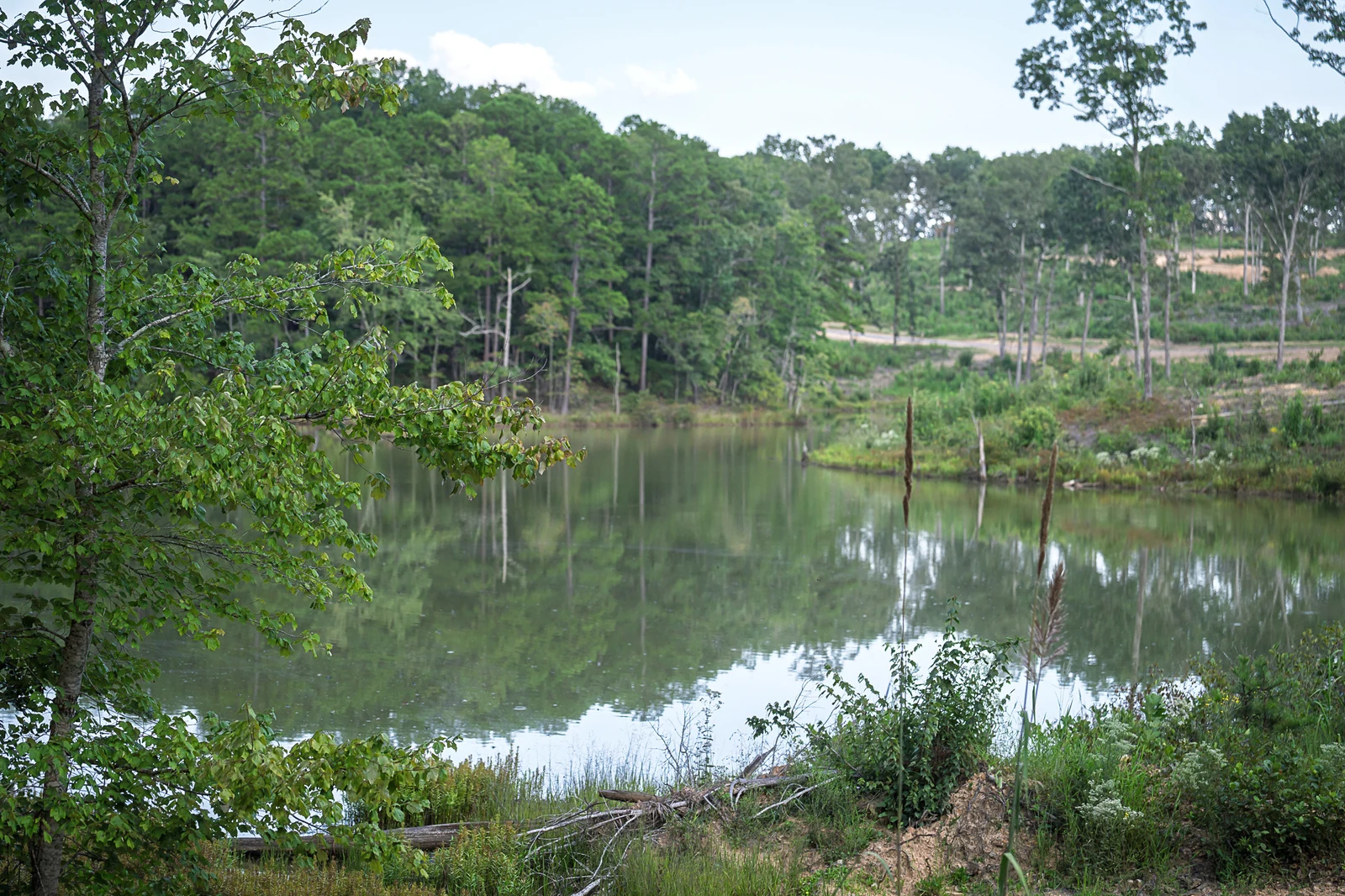
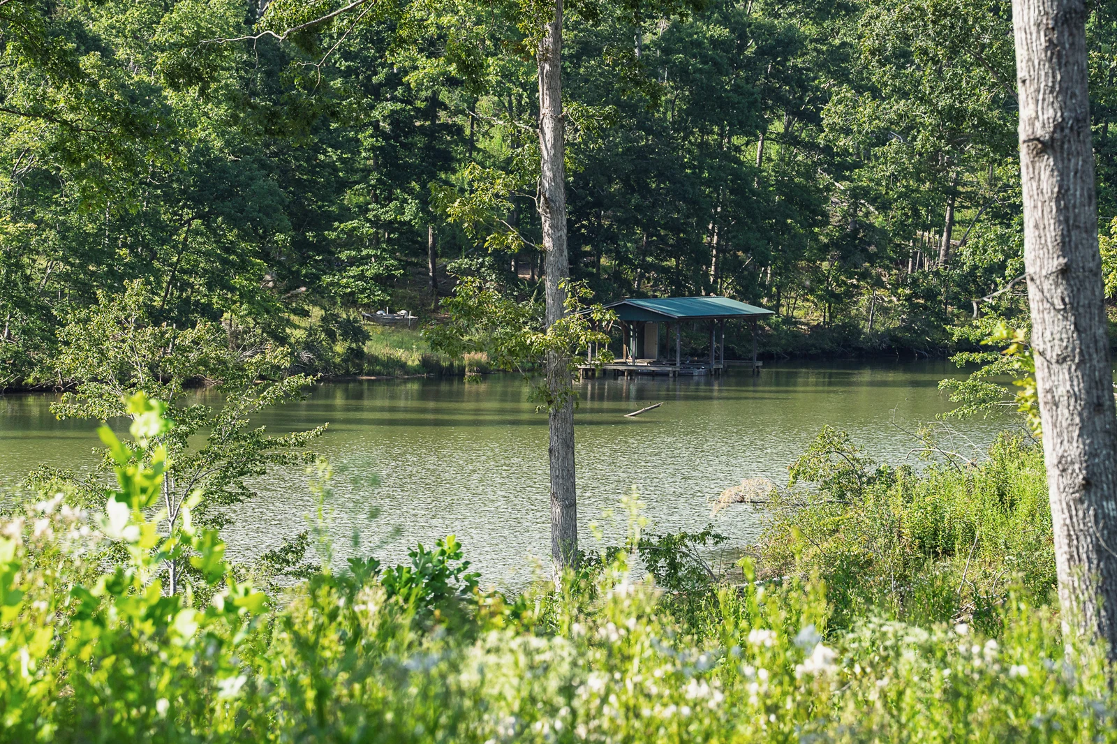
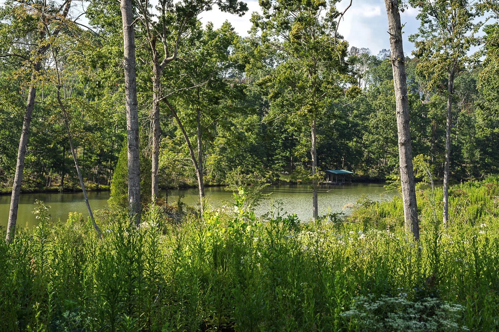
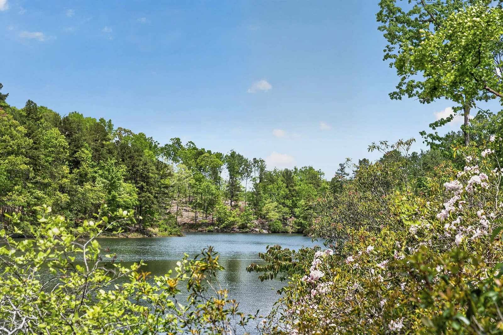
The view shifts between open water, wooded banks, reflections, and the long shape of the lake.
The ridge in motion
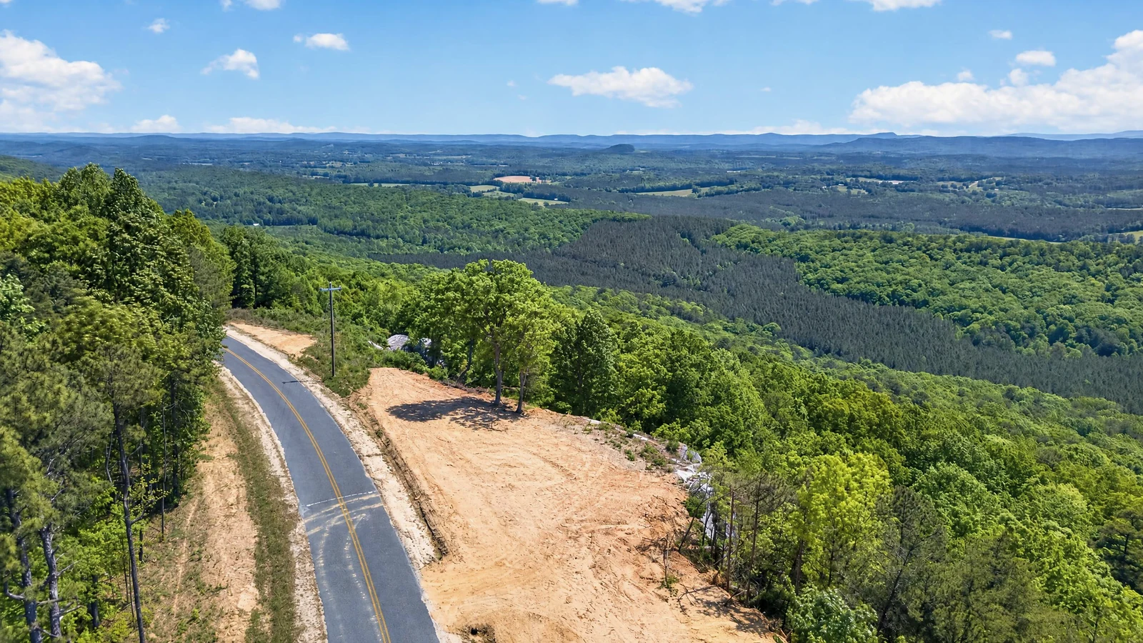
Take the scenic way in.
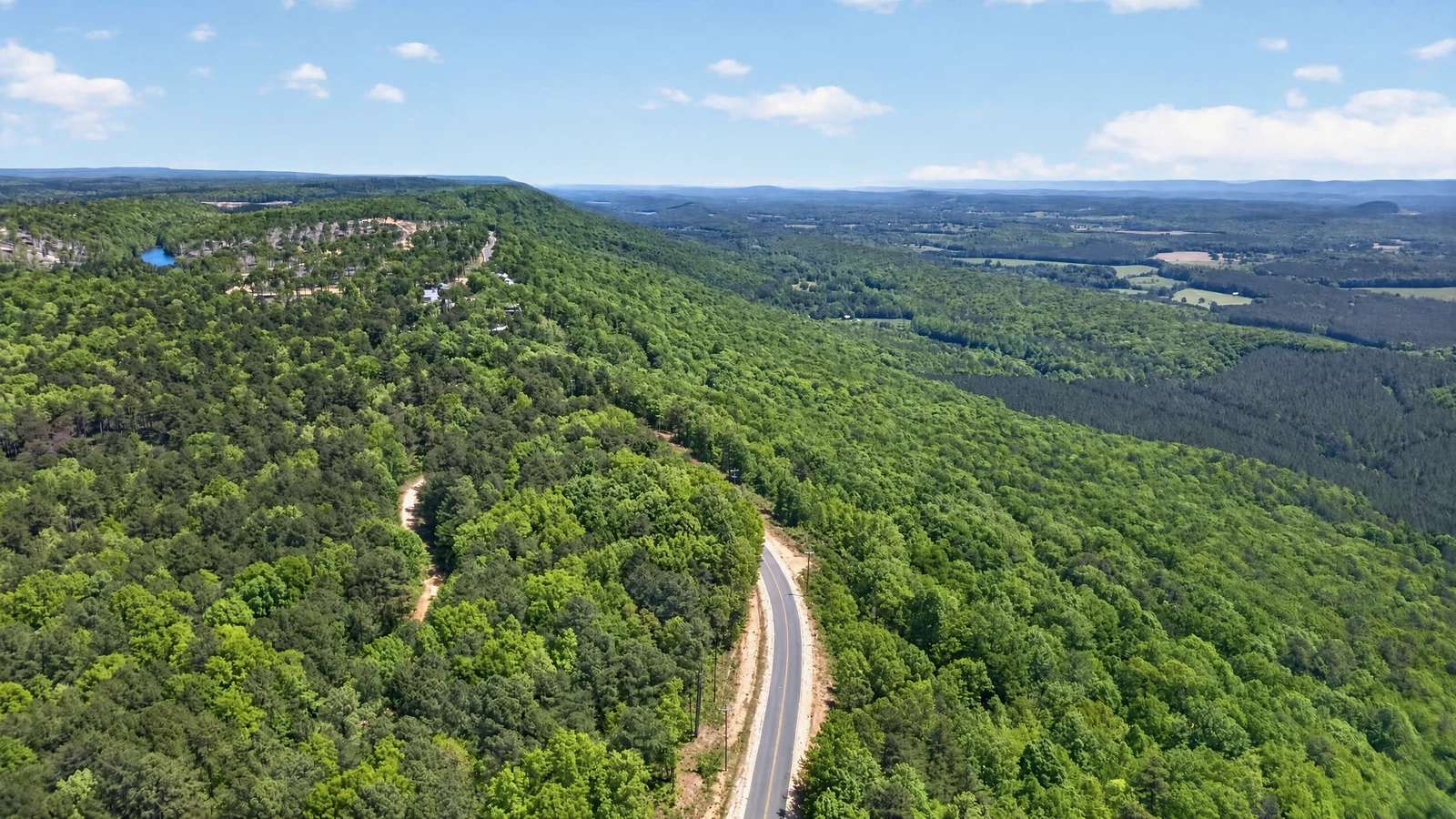
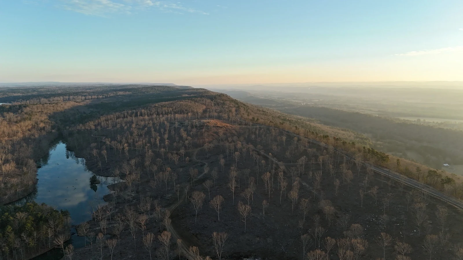
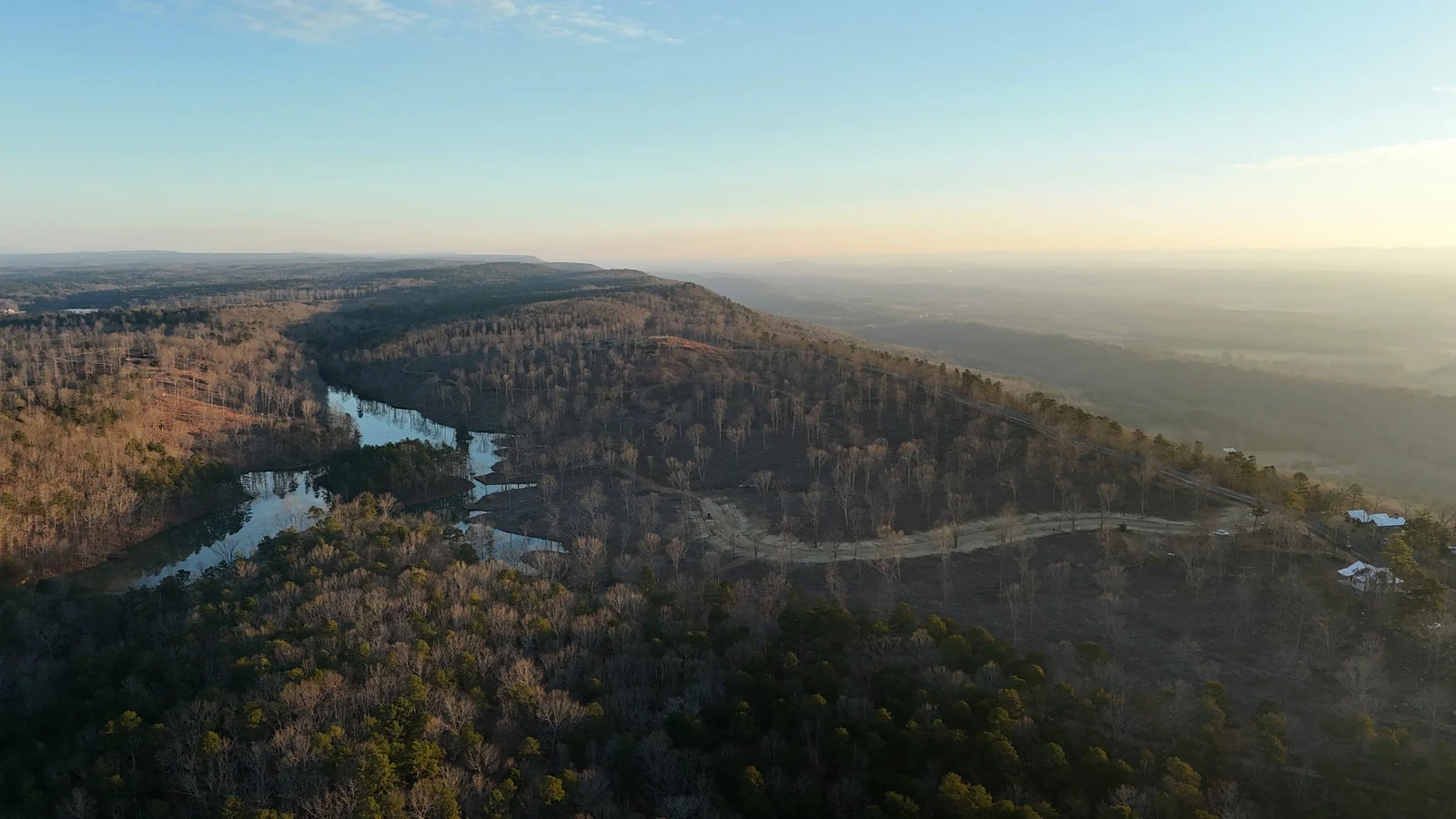
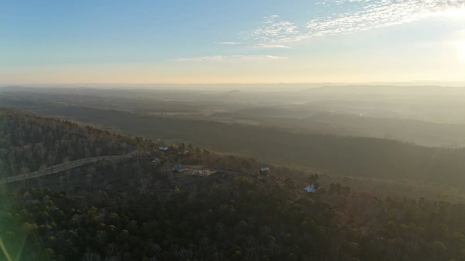
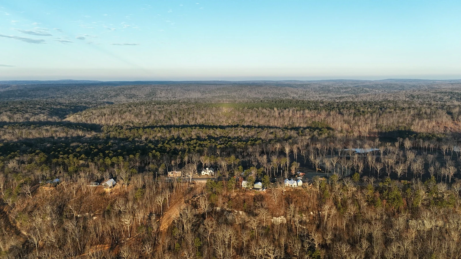
A quiet flight right alongside County Road 103 in Mentone, Alabama, opens toward the wooded slopes and layered mountain horizon.
Passage 03 · The horizon
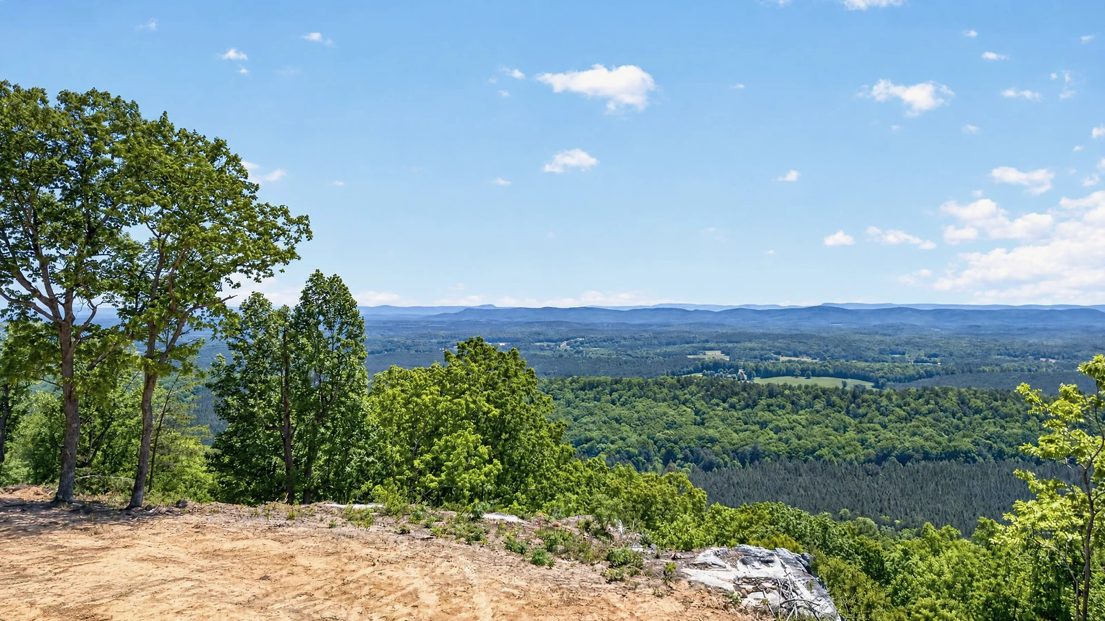
Climb toward the long view.
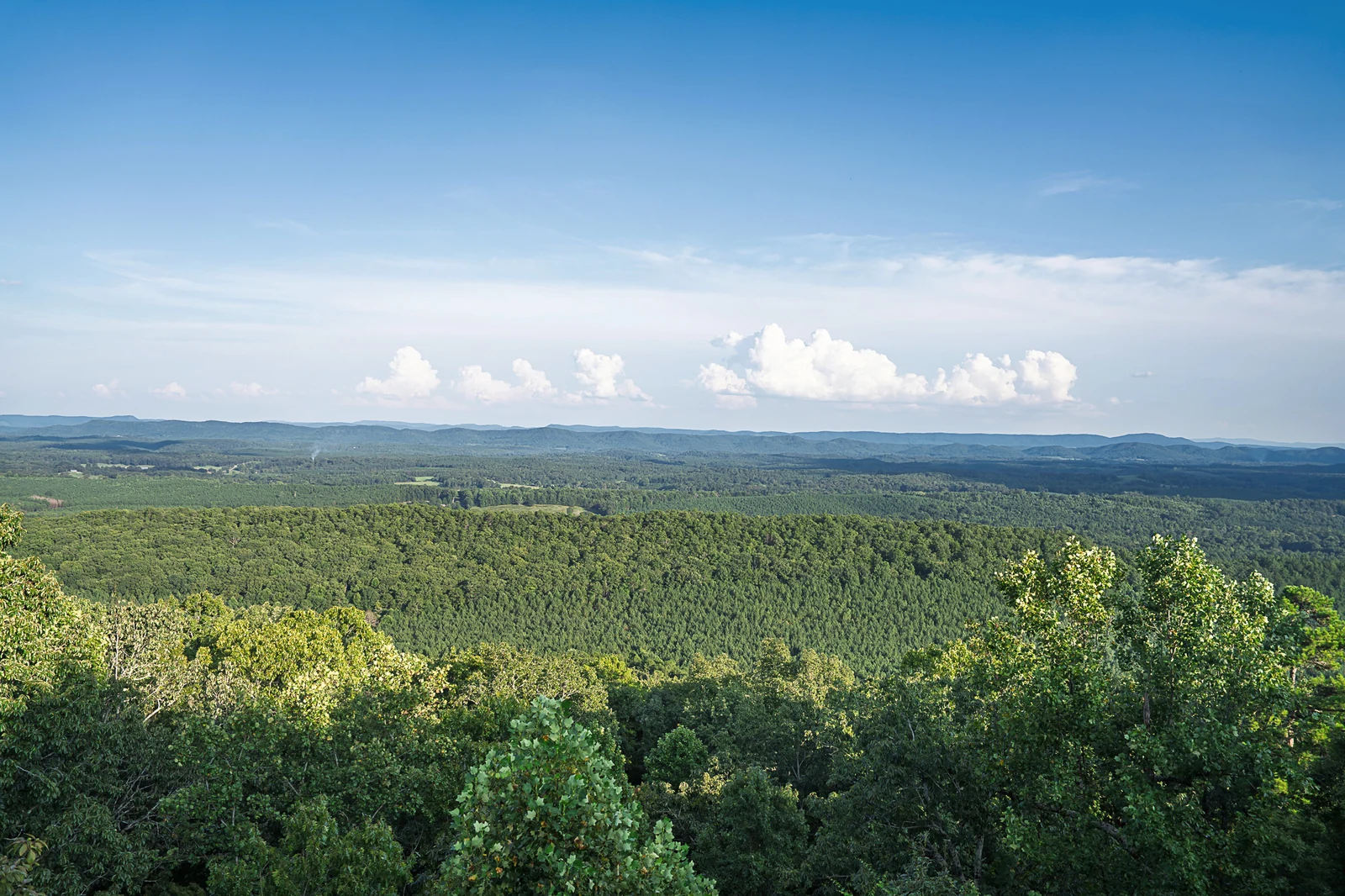
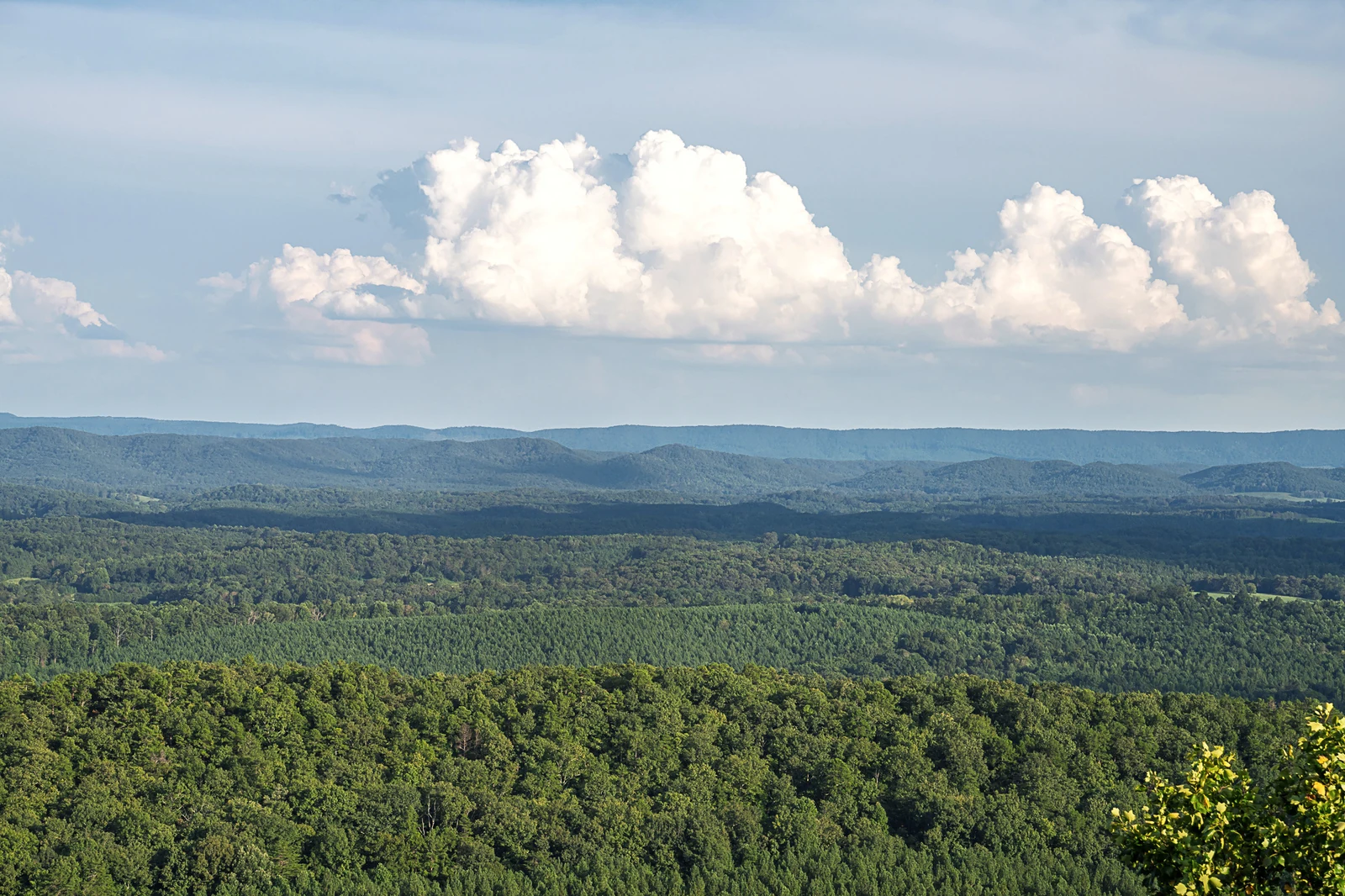
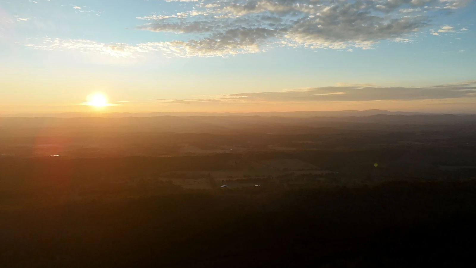
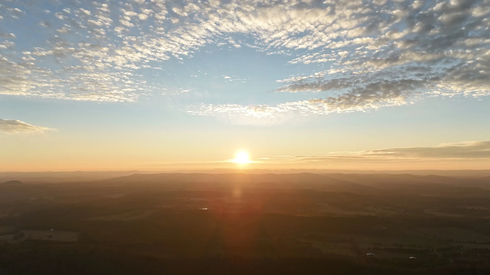
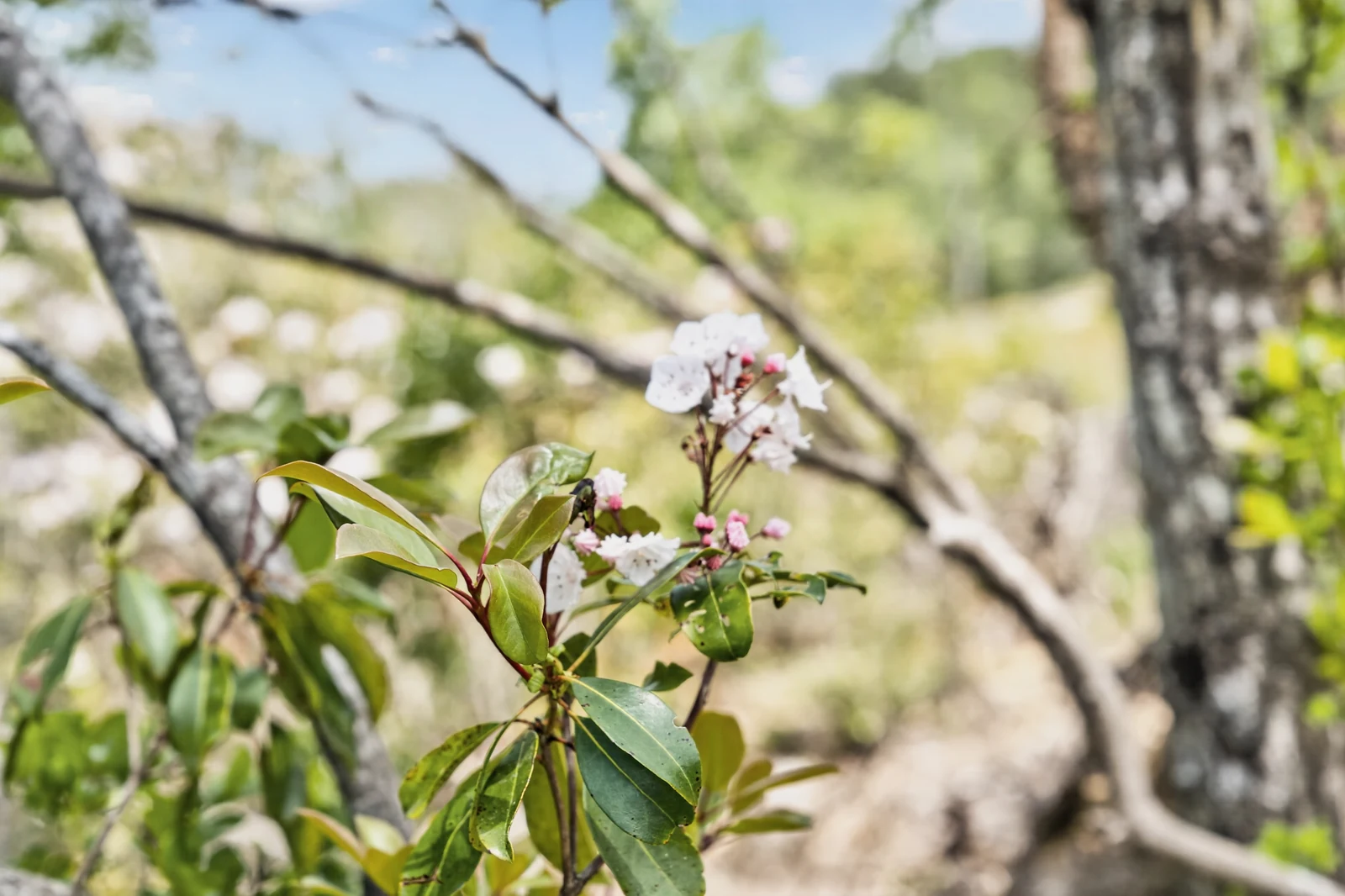
The final photographic passage opens from shoreline details into morning haze, woodland ridges, and the larger Lookout Mountain landscape.
Film 04 · Above the ridge
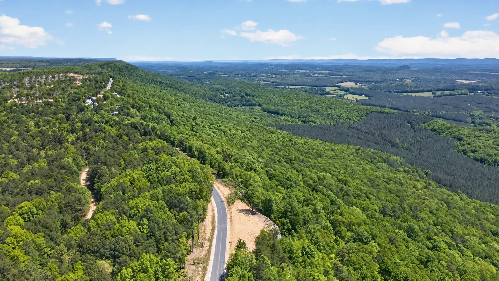
The mountain keeps going.
Wooded slopes open toward layered ridges and the horizon beyond Cairnwood.
Plan a Private VisitActual Cairnwood footage · Filmed across seasons
04
Tiny-home vision
Ideas for future character.
These conceptual studies express a possible relationship between tiny homes and the land. Final design, location, approval, timing, and construction are not represented.
Preliminary property plan
The journey shows character.
The plan shows organization.
The current plan depicts 75 numbered lots and remains subject to survey, engineering, approvals, recordation, and change.
Explore the Property PlanCurrent information