
Easy · 0.5-mile loop
Path to Learning Trail
Begin immediately behind the Canyon Center on an educational woodland loop with learning stations devoted to botany, geology, wildlife ecology, and the cultural heritage of Little River Canyon.
Life Shaped By the Land
Little River Canyon Center · A short drive from Cairnwood
The Little River Canyon Center is a short drive from Cairnwood—a nearby starting point for woodland walks, waterfall visits, and days exploring the preserve. Make the canyon part of everyday life on Lookout Mountain.
Directions to the Canyon CenterClose enough for an afternoon
From Cairnwood’s County Road 103 setting, the Canyon Center and Little River Falls are nearby outings. Stop in for a trail map, take a woodland walk, or spend an afternoon at the overlooks without making it a full-day trip.
The Center’s public entrance is on Alabama Highway 35, on the Fort Payne side of the river. Find it at 4322 Little River Trail NE, Fort Payne, Alabama. Use the Center’s official directions when planning your visit.
Visitors should enter through designated public roads, parking areas, and trailheads. Proximity does not imply private access, a property trail connection, or special rights within the National Preserve.
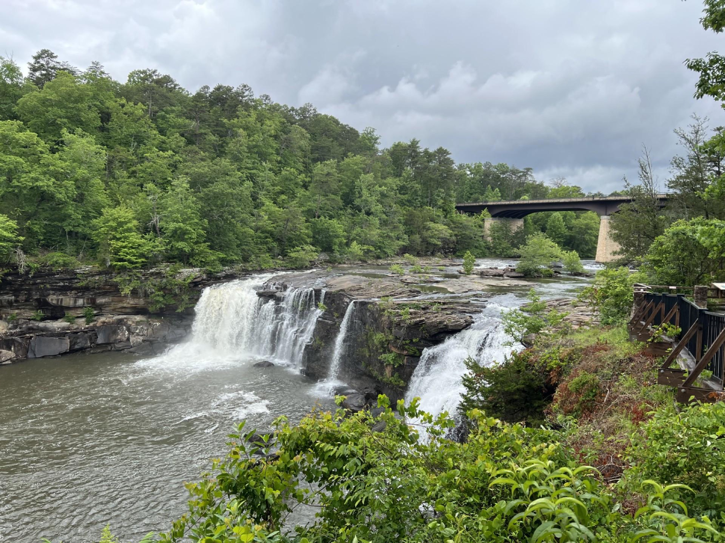
Little River Falls in motion
A short glimpse of Little River Falls, where flowing water meets the sandstone of Lookout Mountain. A nearby public destination to explore while you are here.
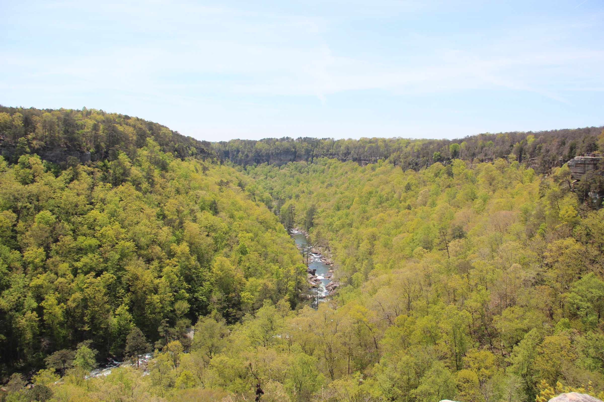
Skyline’s wider Lookout Mountain setting
≈840acres across six Skyline-owned parcels adjoining preserve land
Across its Cherokee County holdings, Skyline Property Company owns approximately 840 acres in six parcels that share a boundary with federally owned land in Little River Canyon National Preserve.
This figure describes Skyline’s broader landholdings. Cairnwood’s community boundaries and individual homesite acreages are separate; preserve frontage varies by parcel and homesite.
Approximate GIS estimate, reviewed September 9, 2026, using Cherokee County parcel records and National Park Service ownership data. Subject to survey verification and ownership changes.
Walk out the door
The Center is more than an information stop. Two easy routes begin at or immediately behind it, with a connected trail continuing the experience at Little River Falls.
Easy · 0.5-mile loop
Begin immediately behind the Canyon Center on an educational woodland loop with learning stations devoted to botany, geology, wildlife ecology, and the cultural heritage of Little River Canyon.
Easy · 0.75 mile
Walk from the Canyon Center toward Little River Falls, cross the river on the Highway 35 bridge walkway, and connect with the accessible boardwalk to the waterfall viewing platform.
Moderate · 0.75 mile
Continue from the Little River Falls boardwalk along a sandstone trail beside the river before descending stone steps toward Little Falls. Conditions and water levels deserve careful attention.
Your first stop
Owned and operated by Jacksonville State University and supported by National Park Service staff and volunteers, the Canyon Center helps visitors understand the landscape before entering it.
Pick up maps, speak with knowledgeable staff, check conditions, and shape a day around the season, water level, and experience of the group.
Explore exhibits, educational programming, wildlife experiences, and the natural and cultural story of the Southern Appalachian canyon.
Public restrooms, parking, a gift shop, an information desk, and indoor spaces make the Center a practical first stop before heading outside.
A much larger backyard
The Canyon Center opens onto a wider preserve experience: scenic overlooks along the Rim Parkway, Beaver Pond Trail, Canyon Mouth Trail, Eberhart Trail, backcountry roads, river access, and the 16-mile DeSoto Scout Trail connecting the preserve with DeSoto State Park.
Trail difficulty ranges from easy to arduous. Weather, river flow, parking, hunting seasons, closures, and trail conditions can change, so every outing should begin with current National Park Service guidance.
Cairnwood is not affiliated with or endorsed by Jacksonville State University or the National Park Service. Distances and access routes should be confirmed before relying on them. Preserve conditions, hours, fees, programs, parking, and trail access can change.
See the setting in person